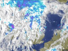
This is the outlook for the next four weeks. It is not meant to be a forecast but a general outlook for the period. I have used the ECMWF Weekly mean anomalies. So thanks to the ECMWF for allowing me to use their models. I have added the mean sea level pressure, Precipitation and temperature charts together for each period.
July 31st to August 7th.
Low pressure remains over the UK bringing a cool feel with temperatures 1-2 degrees below average and above average rainfall. So showery with heavy periods of rain. All area’s of the UK will be cool and wet at times with below average temperatures and above average rainfall.

August 7th to 14th.
Slack air pressure is over most of the UK with higher pressure over southern parts. Temperatures look like being just below average with rainfall near to average so it will be fairly dry. Coolest parts of the UK are from the midlands, South, South eastern parts.

August 14 to 21st.
Slack air pressure will be over the UK bringing temperatures and rainfall around average so little warmer than we have been use to and it will be fairly dry. Wettest parts of the UK are the North Eastern areas and the coolest area could be the South coast.

August 21st to 28th.
Slack air pressure over the UK bringing temperatures and rainfall near to average and fairly dry. Highest temperatures will be over Wales and North Western parts of the UK.

Summary.
It looks like this cooler, wetter weather will continue through the first week of August and we could start to see some improvement sometime during the 2nd week of August onwards.